In 2011, I went on my first Transalp. Solo. I followed a rather straight route from Munich to Innsbruck, then via the Kühtai pass and over the Timmelsjoch into Italy. I was deeply impressed with the temperatures in Meran and onwards, reached Lago di Garda, then Verona, and finished in Venice after a rest day. Two days before I departed, I told about my plans to a cute girl I met at a conference. Two weeks after I returned, she asked me about it. We are now a couple for six and a half years.
Eight months’ serious training for a multi-stage Alpine sportive was in the bag. The prospect of the 550 miles and 19,000 metres of climbing that is the Schwalbe Transalp no longer had the power to immediately turn the bowels to water. Not a natural climber (I weigh 85kg) I still reckoned that the seven consecutive mountain stages from Germany to Italy, via Switzerland, would be achievable. I’ll just do one short, sharp ride to see where I am, I thought. A 7-8 per cent local hill beckoned at the end of the ride. A cyclist ahead, about 200m in front. I’ll just have him, I thought.
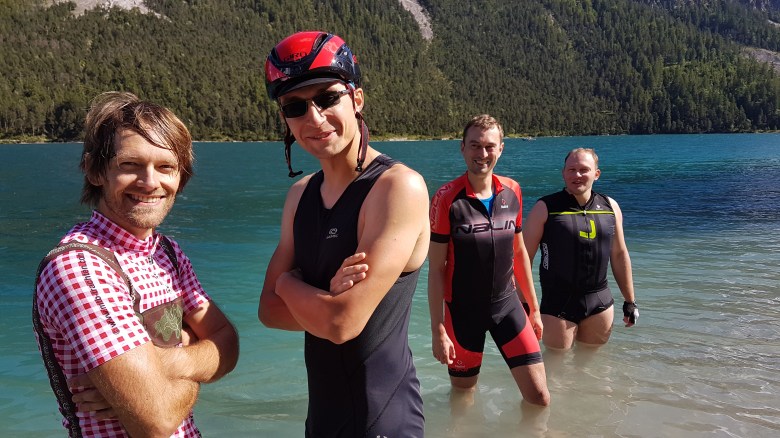
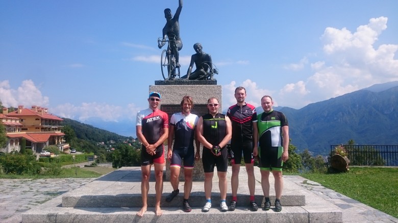
It took only twelve months and I went again, this time not solo, but with two friends. Then two years passed before I returned to the Alps, now in a group of five. It was a bit of challenging experience, including some personal frictions, and we were all a bit in doubt when this year we formed again in the same group for another attempt. Those doubts were unfounded – we plain and simply had a great time.
This time for the first time, every day cycling through the Alps meant getting closer to home. That certainly was an interesting experience. I also had prepared much more substantially and gained much more experience. We had created a quite challenging and rather unusual route. Most Transalp trips undertaken by Germans will inevitably end at Lago di Garda and some end at Lago Maggiore. Since we had been there (and I had been there three times), we chose Como as the finish.
I dare to declare our route as a new general route to add a more Western track to the common options that run through the Dolomites. I call this the Zweiradberge-Route, and it’s trajectory is depicted in this article’s infograph. Over the next few weeks, some articles will appear that cover each stage in more depth and with some video footage.
Basically, we start off in Munich with a flattish leg to Reutte in Tirol. One could take local trains to Herrsching and shorten the stage from hefty 155km to very doable 105km. While the finish lies in Austria, this first day is all about Bavaria and Germany. The finish is indeed close to Neuschwanenstein, that famous castle. The route passes three lakes (Ammersee, Staffelsee, Plansee), of which the Plansee is arguably the most scenic one. A lunch-time stop in Murnau is recommended. The day contains two climbs: a longish slope from Murnau to Bad Kohlgrub, then the Ammersattel. Both are easy exercises – trained cyclists will do them in the big chain-ring.
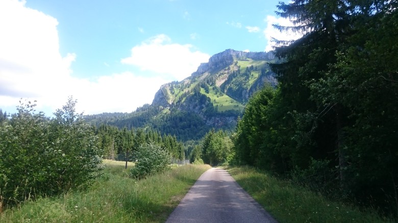
The second day is a hilly affair. After a few kilometers warm-up, we climbed the Gaichtpass and then followed the Tannheimer Tal to the Oberjochpass. This bit is followed by an intermediate downhill/flat section. Then, one can pick one of two options: The more challenging route would cross the Riedbergpass, with gradients frequently and deeply in the double digits, and the easier yet completely car-free route would use the spectacularly scenic Rossmohrsattel. The day finishes with three rather short, but quite steep hills and then a long descent into Vorarlberg, where the Rhein flows in the Lake of Constance. We slept in Dornbirn and took the train to Bregenz for a swim, but really: one could easily move the finish to Bregenz itself.
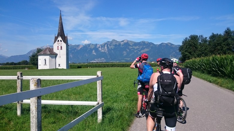
The Rhein valley is the background for much of the third day. We crossed the border to Liechtenstein close to Feldkirch, had a quick stop at Vaduz, then cycled on the cycle path over the Rhein dike back into Switzerland and further South to Landquart. I recommend a flat finish to Chur to people with tired legs (from Chur, one can take the train to Davos – just be prepared to pay a lot for that; it’s Switzerland), while we took a small street through the villages of the Prättigau to reach Klosters. That street used to carry a lot of traffic in the past, but tunnels, bypasses, and bike lanes have turned this into a great and quiet experience. From Klosters, one “only” needs to cross the Wolfgang-Pass. For those who resist cold water temperatures, a jump in the Davossee marks a great end to the day. I recommend Hotel Edelweiß in Davos as a fabulous place for bikers – it’s a good opportunity for a laundry day.
However, a Transalp implies cycling at high altitudes, and that’s finally the theme of day 4. We cycle out of Davos via the Flüela-Pass, the second highest pass of the entire tour. In 2017, the surface of the descent is in great shape, and we found traffic to be negligible during a Wednesday. Tired folks can use a bus with bike racks to get up to altitude, the famous Swiss Postauto. Shortly after the descent, the climb to the Ova Spin starts, only to be followed by another descent which directly leads into the climb to the Ofenpass/Passo del Fuorn. That’s quite a bit of serious climbing: The Flüela is windy and rather steep, the Ova Spin is steep as well, and the Ofenpass takes out the remaining energy on its last two kilometers. Again, a bus would be available if needed. But from there, it’s all downhill into Südtirol. We stood over night in Glurns, which is a breathtakingly beautiful little village (actually: city).
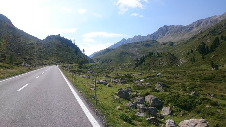
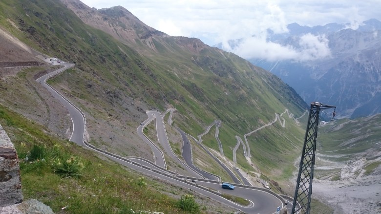
The fifth day is the highlight and the peak of this route, as it leads over the Passo dello Stelvio. We followed the classic ascent over 24.5km and 48 hairpin turns from Prad in Südtirol and then descended into Bormio. If the weather sucks, getting over to Bormio by public transport is a bit tricky – it’s possible, however. From Bormio, we mostly followed the Sentiero di Valtellina all the way down to Tirano, which in July 2017 is in a great shape: Lots of former gravel sections have been coated with asphalt. (Thermic) Wind is an issue on the early part of this bit, but since one still falls from 1200m (Bormio) to 450m (Tirano) altitude, the day finishes fast once one has reached Bormio.
Day 6 from Tirano can be done in two versions: The ultra-version would attack the Bernina-Pass and then pass in Western direction through the Engadin. Long, 30km downhill to Chiavenna, then South to Lago di Como. I recommend an easy day, since the past three days might have been rather challenging. For that purpose, the Sentiero di Valtellina is again a good choice – just that between Sondrio and Morbegno the surface is often not in the best state and needs renovation. It’s mostly asphalt, though, and one also has a small regular street available as an alternative. We hit the lake at Colico, then continued along its Eastern shore to Varenna.
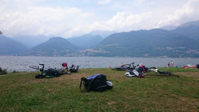
The final leg of this route is one for prestige. We took the ferry from Varenna to Bellagio, then climbed up to the Madonna di Ghisallo. After the Stelvio, this might be the place where one meets the largest density of fellow cyclists. The Madonna is one of the classic mountains of Lombardian cyclists. In the morning, car traffic is modest even in weekends. The church is obscure and weird, but worth a visit. We then descended via Asso to Onno – in the vicinity of this village, there are some easily accessible and free rocky beaches, maybe the least known but best opportunity to swim in Lago di Como. And then it’s a constant up-and-down along the lake road back to Bellagio and then South to Como. From here, I advise to take the train to Milano – cycling is possible, but it won’t match the beauty of the lake anyways. It would be anticlimactic. Disappointingly so.
The whole trip took us seven days. Strong cyclists might make it in six. Or still do seven but opt for some more challenging options. We cycled about 730km and did about 11,500m of climbing. The route is characterized by much diversity in landscape and culture, crosses four countries, and often uses streets that are very low on traffic or dedicated cycle routes. For every stage, public transport helps to get from A to B in case of adverse weather conditions.
Transfer to Munich/Intro: YouTube
Munich > Reutte in Tirol: 155km, flattish [YouTube]
Reutte in Tirol > Dornbirn: 115km, hilly [YouTube]
Dornbirn > Davos: 120km, continuous climbing (flat alternative to Chur) [YouTube]
Davos > Glurns: 85km, climbing at altitude (peak: ~2,350m) [YouTube]
Glurns > Tirano: 95km, climbing at altitude (peak: ~2,750m) [YouTube]
Tirano > Varenna: 95km, flat [YouTube]
Varenna (Bellagio) > Como: 65km, some climbing, some flat, some hills [YouTube]
Over the next weeks, I will update this summary with links to stage-specific articles. The links above lead to stage-specific articles which describe the route in more detail. Those articles include GPS-Tracks of each respective stage and some further hints and recommendations – plus some video footage from our own trip. I also have added direct links to those videos in that list, and all videos are part of one full playlist.
